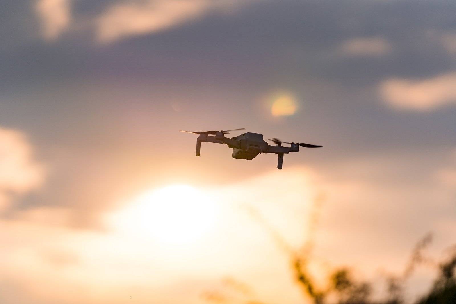
The history of aerial photography is a fascinating one to learn about. Even though aerial photography has been around for a long time, the technology used to capture aerial images has evolved significantly over the years. Airborne and heliborne missions are no longer the exclusive modes of transportation for shooters. Drones are increasingly being used to shoot photographs and movies from the air, capturing high-quality shots that would otherwise be impossible to obtain from the ground. Since aerial filming in Australia is now being utilised for various commercial and recreational reasons, this blog article will discuss some of the advantages of aerial photography to help you determine whether it is the correct choice for your company or project requirements.
Aerial photography offers a unique perspective since it allows for capturing photographs that would otherwise be impossible to view from the ground level because of its altitude. Following its rapid ascent to become an increasingly popular weapon in the marketing arsenals of a wide range of businesses, those who have adopted this technology have acquired a significant competitive edge over their rivals. The ability to capture photos from a creative viewpoint, rather than merely utilising traditional photography to illustrate things or projects, may be used to dazzle prospective customers and also wow possible investors. It is pretty successful in the property and real estate industry, mainly targeting specialist markets such as purchasers of waterfront property, luxury residences, etc.
Table of Content
Technology that is both cost-effective and efficient
The introduction of modern technology, such as drones for capturing aerial photos, has significantly reduced the expenses of renting large-scale equipment, such as helicopters and cranes, which were previously expensive. Drones, which operate at a fraction of the cost of crewed aircraft and eliminate large fuel expenditures, have made aerial photography accessible to many enterprises and projects that would have been previously out of reach due to the high cost of aerial filming in Australia.
Safety
Aerial photography is sometimes necessary for circumstances where human flying would be dangerous, and satellite pictures would not offer the level of detail required. When used appropriately and following rigorous safety rules, drones in these situations may provide the ideal opportunity for gathering aerial footage while maintaining the highest level of safety for the project.
High Altitude: Unrestricted Viewing Opportunities
Having unhindered access to locations in Australia that are usually difficult to see is very beneficial in various applications. Aerial images, especially those taken using drones, may be taken without being limited by trees, buildings, or other impediments that may be present on the ground surface, allowing for more creative and imaginative imagery.
Scale and proportions are accurate to within a few per cent.
When it comes to applications such as creative marketing of luxury residences in the real estate industry in Australia, large-scale development, and military intelligence, aerial photography’s ability to picture size and proportion is especially helpful. Surprisingly, it has also effectively resolved legal problems involving property boundaries and land conflicts. Apart from that, aerial pictures might help compare characteristics on various sides of an item or a piece of land. Consider the following example: while gazing over a scene with mountains in one direction and flat terrain in another, there is no distortion when comparing the two varieties since they are placed next to one another.
A Synoptic Perspective
A synoptic or bird-eye perspective of the landscape in Australia is beneficial in various situations and applications. Images acquired from this angle have become more critical, particularly in domains where remote sensing is used. Topographical mapping, engineering, environmental science, and agriculture are examples of such fields. While this large-scale perspective helps observe the development of building projects and other structures, it is not always feasible to do so during in-person site visits or just by looking at satellite maps alone.